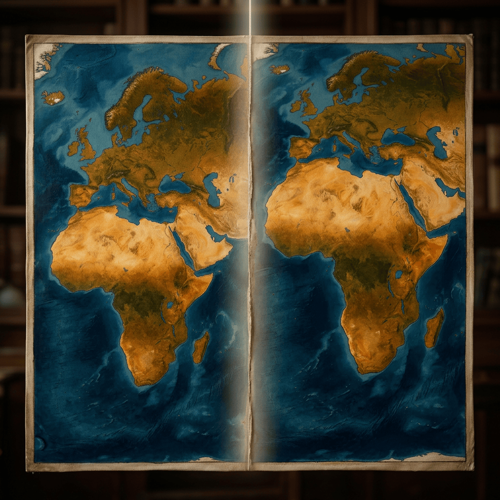
Africa is finally being seen as it truly is, vast, powerful, and central to the world. In September 2026, the United Nations General Assembly voted overwhelmingly to support a global shift toward world maps that show Africa’s realsize, correcting centuries of distortion caused by the Mercator projection. This is more than a cartographic update; it is a historic act of cognitive justice and a powerful moment for Africa and the Afroglobal community.
Why Africa’s Size Was Distorted in the First Place
The distortion traces back to 1569, when Flemish cartographer Gerardus Mercator created a map projection designed specifically for European sailors. Its purpose: navigation, not accuracy. Its effect: landmasses near the poles appear much larger, while equatorial regions, including Africa appear dramatically smaller.
This meant:
Greenland looks similar in size to Africa, even though Africa is 14 times larger.
Europe and North America appear inflated.
Africa and South America appear minimized.
Over centuries, this distortion became normalised in:
School textbooks
Atlases
Digital maps
Media graphics
Government documents
The result was not just a geographic error, it became a psychological one, shaping global perceptions of Africa’s importance.
Why Correcting the Map Matters
The UN resolution makes it clear: “Maps shape our understanding of the world.” Robert Dussey, Foreign Minister of Togo.
Correcting Africa’s size is important because;
It restores truth.
Africa is the second‑largest continent, larger than China, India, the U.S., and most of Europe combined. yet maps have visually shrunk it for 450 years.
It challenges colonial-era narratives
The Mercator map visually centralises Europe and exaggerates Western nations, reinforcing ideas of Western dominance.Correcting the map is an act of memorial reparation and cognitive justice.
It influences global policy and education
When a continent looks small, it is subconsciously perceived as less significant, an accurate map helps reshape:
Investment narratives
Development priorities
Cultural respect
Global imagination
It empowers African identity
Seeing Africa accurately on the map reinforces pride, confidence, and unity across the Afroglobal community.
Who Is Behind the Movement?
The movement is African-led, driven by governments, scholars, activists, and cultural organisations.
Key Leaders:
Republic of Togo – spearheaded negotiations and sponsored the UN resolution.
African Union (AU) – backed the campaign and mobilised continental support.
Bahamas – co-sponsored the resolution alongside AU member states.
Africa No Filter – advocacy organisation pushing for accurate maps in schools, media, and digital platforms.
Key Voices:
Robert Dussey, Togo’s Foreign Minister
“A fair world begins with a fair map.”
Moky Makura, Executive Director of Africa No Filter
“Africa doesn’t need to be made bigger. It needs to be seen accurately.”
This is Africa telling the world: “See us as we truly are.”
The resolution passed with 164 votes in favour, 1 against, and 6 abstentions. Support came from countries across:
Africa
Asia
Latin America
Europe
The Caribbean
The United States was the only country to vote against the resolution. Abstentions: Estonia, Georgia, Lithuania, Moldova, Serbia, Ukraine.
What Map Will Replace Mercator?
The UN encourages adoption of the Equal Earth projection, developed in 2018, which:
Preserves area accurately
Shows continents in true proportion
Corrects Africa’s size
Maintains visual balance and aesthetic clarity
It does not ban Mercator, it simply promotes accuracy when size matters.
What This Means for Africa and the Afroglobal Community
This moment is deeply symbolic and profoundly empowering as Africa’s true scale becomes visible such as a continent of:
1.4 billion people
54 nations
The world’s largest mineral reserves
The fastest-growing youth population
…will finally be shown in its full magnitude.
A psychological shift in global perception
Maps influence imagination. A larger Africa on the map means a larger Africa in:
Global consciousness
Investment thinking
Diplomatic respect
Cultural narratives
A new era of African self-definition
For centuries, Africa’s story was told by others. Now Africa is correcting even the visual language of the world.
Inspiration for Afroglobal communities
For Africans in the diaspora, this is a powerful affirmation:
Africa is not small. Africa is not peripheral. Africa is central, vast, and essential.
A foundation for future reforms
Correcting the map opens doors to:
Curriculum reform
Media accuracy
Tech platform updates
Cultural reclamation
It is a step toward a world where Africa is represented truthfully, not symbolically minimized.
The UN’s decision to support a map that shows Africa’s true size is more than a cartographic correction. It is a declaration that Africa’s place in the world matters, visually, politically, psychologically, and historically.
For Africa and the Afroglobal community, this is a moment of pride, justice, and empowerment.
By Fiona Lewis